Key facts
- For government customers, Gen5 uses 1,800 megahertz of bandwidth, achieving resolution as fine as 11 centimeters subject to International Telecommunication Union regulatory compliance.
- Gen5 carries an onboard artificial intelligence processor that performs screening and preprocessing on the spacecraft and supports tip-and-cue tasking, with new capabilities arriving by over-the-air software updates.
- Gen5 cuts minimum image-window separation by over 30 percent and doubles imaging time per orbit versus earlier generations, allowing 30 percent more images on each pass.
- ICEYE fields a new satellite generation about every 18 months and issues software updates every quarter so customer systems keep gaining capability between hardware cycles.
A Finnish radar satellite manufacturer named ICEYE unveiled Gen5, its fifth-generation synthetic aperture radar satellite system, on Monday, November 16, 2026. ICEYE has now produced five spacecraft generations over eight years. The company said the unveiling aims to cut how long it takes to move from data collection in orbit to operational decisions for defense, intelligence, and emergency-response missions.
Government users can run Gen5 with 1,800 megahertz of bandwidth and resolution down to 11 centimeters, subject to International Telecommunication Union requirements. ICEYE said the improved government resolution lets analysts see smaller objects more clearly in any conditions, supporting situational awareness and mission-critical decisions. Every customer can operate the satellite at 1,200 megahertz, reaching resolution as fine as 16 centimeters. Higher transmit power and larger incidence angles lift image quality across all modes.
ICEYE noted that stronger transmission and wider angles boost image quality in every setting.
Compared with earlier generations, Gen5 reduces minimum image-window separation by more than 30 percent and doubles imaging time per orbit. That allows 30 percent more images per pass. Better orbit control puts Gen5 above the same site every day at the same viewing angle, lining up repeat images so ground changes between takes become apparent. ICEYE said spacing images more closely along the flight path lets the same constellation image more targets.
Gen5 carries an onboard artificial intelligence processor. It screens and preprocesses data on the spacecraft, supports tip-and-cue tasking, and receives new capabilities through over-the-air software updates. ICEYE describes the processor as AI-ready hardware for future abilities, including autonomous object detection and classification on its product roadmap. ICEYE said future AI abilities rely on unreleased software, so the shared IceOS platform and ground-segment design will determine whether customers can add them without changing current operations.
The company said the hardware enables analysis to begin aboard the satellite instead of waiting for data to reach the ground.
Rafal Modrzewski, chief executive officer and co-founder of ICEYE, said on November 16, 2026: “Time to decision is everything in space-based intelligence, whether you’re tracking a vessel or responding to a flood.” The CEO said the system cuts decision time using better imagery and analysis started aboard the satellite.

Sovereign customers can field a dedicated Gen5 system free of U.S. International Traffic in Arms Regulations restrictions within 12 months of signing. The package covers ground infrastructure, software, and operator training. Current ICEYE customers can add Gen5 without altering tasking workflows or retraining operators, since all generations share the same software and ground segment. ICEYE said its current ground segment and tasking software let operators add the new spacecraft without new training.
ICEYE introduces a new satellite generation roughly every 18 months and releases software updates every quarter. Users keep gaining capability between hardware cycles. ICEYE said quarterly software updates sent over the air add fresh abilities once satellites reach orbit, giving customers improvements between hardware cycles.
The satellite’s imaging modes span areas as large as 120,000 square kilometers, or they can narrow to a 5-by-5-kilometer scene at high resolution. ICEYE said a single satellite can manage both wide-area maritime observation and close monitoring of individual sites using different imaging modes. A steerable antenna supports downlink speeds up to 1 Gbps. Altitude runs from 450 to 600 km.
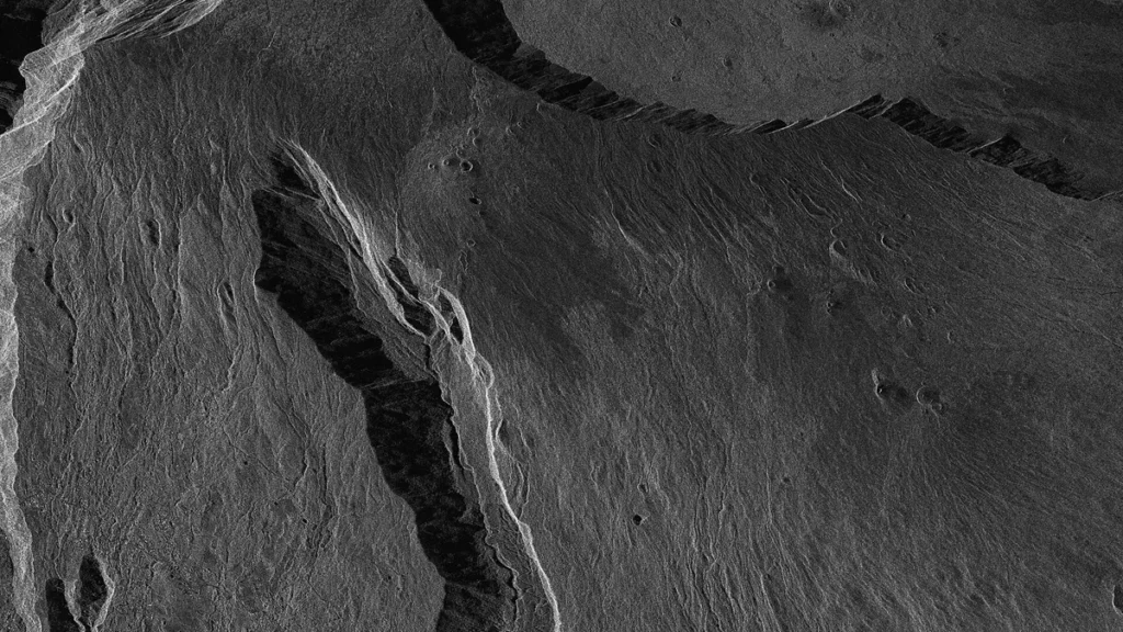
Radar sees through cloud, smoke, and darkness, so Gen5 can collect images day or night and in any weather. The extra detail aims to help analysts detect and identify smaller objects. ICEYE said the all-weather radar capability combines with added resolution detail to help analysts spot and classify smaller objects.





Join the discussion