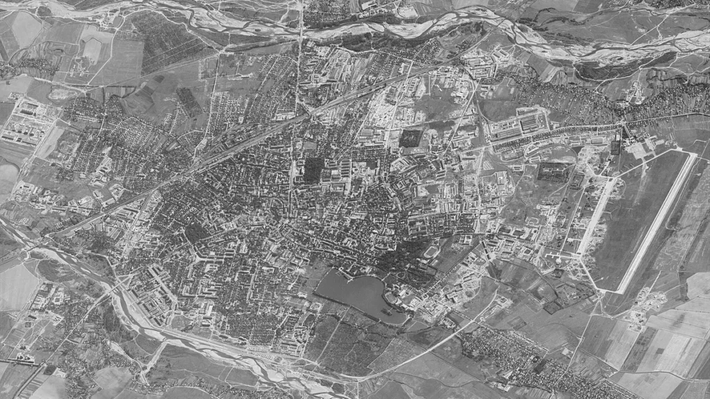
Bravo1Alpha B.V. deployed its Close Satellite Support tactical system in Ukraine to stream commercial imagery directly to frontline drone pilots, according to field operators cited in an Aug. 17, 2026 New York Times assessment.
The Dutch firm’s architecture combines vehicular mobile command nodes with handheld terminals resembling video game controllers, mounted in mobile field trucks equipped with localized processing units and satellite transceivers. Mission participants say the system delivers refreshed imagery within fifteen minutes and shrinks the targeting loop by as much as 90 percent.
Units in the field detected concealed Russian command bunkers and verified target coordinates with five-meter precision. They also conducted immediate battle damage assessment after drone engagements. Pilots on the front lines use handheld interfaces to study multispectral imagery, plot flight paths around hostile air defenses, and coordinate munitions from drones.
The system’s edge routing tool links commercial orbital providers, pulling optical and synthetic aperture radar imagery from Vantor and ICEYE. Data flows straight into Ukraine’s DELTA battlefield management system, which blends spaceborne intelligence with tactical drone feeds and terrain databases under NATO-compliant data standards.
Bravo1Alpha is expanding distribution of tactical edge receivers to allied militaries and creating shared workflows for joint sensor and targeting control. The older approach sent imagery through days of review at strategic headquarters before it reached infantry, making it useless against targets that move.
Vantor, Bravo1Alpha, US-based Persistent Systems, and Ukrainian defense firm Burevii collaborated across the Atlantic to create the capability. Vantor’s fleet of 10 satellites covers 7 million square kilometers each day and provides coordinates accurate within 5 meters, enough for targeting with 50-kilogram explosives.
The Wall Street Journal reported on June 4, 2026 that a small Ukrainian Armed Forces unit in the southeast used high-definition commercial satellite imagery to find and strike a concealed Russian planning site. Troops got commercial satellite imagery on phones, tablets, and laptops, letting them spot armored vehicles beneath thick tree cover and carry out a successful drone strike.
Former intelligence officials cautioned that cutting out vetting intermediaries raises the danger of troops acting on bad information. The warning accompanied reports of direct-to-soldier commercial imagery speeding strike decisions in Ukraine.
A May 27, 2026 Lieber Institute at West Point analysis found that existing international humanitarian law’s application to commercial satellite support in modern targeting cycles remains unsettled. Under Additional Protocol I Article 52(2), a commercial satellite or related node could count as a military objective if it meaningfully contributes to military action and disabling it would give a clear military advantage.
ICEYE‘s space-based tactical ISR (intelligence, surveillance, and reconnaissance) system squeezes the intelligence cycle from hours down to minutes by combining tasking, collection, processing, exploitation, and dissemination into a single chain. ICEYE Gen4 satellites capture images at 25 centimeter resolution across a 400 kilometer field of regard in all weather, day and night.
ICEYE‘s ISR Cell moves the full processing and exploitation chain to the tactical edge, enabling collection to dissemination in minutes and standalone operation if the main ground segment fails. The system handles imagery in 30 seconds, applies AI-driven analytics to classify bombers, transport aircraft, helicopters, and air defense systems, and provides a classified product instead of a raw image.




Join the discussion